
Gratis fragt

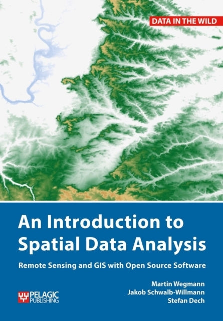
An Introduction to Spatial Data Analysis

Remote Sensing and GIS with Open Source Software

Engelsk
Salgspris429,95 kr
Vælg format:
An Introduction to Spatial Data Analysis

An Introduction to Spatial Data Analysis

Lagerstatus kan ændre sig i løbet af dagen. Kontakt derfor butikken for at sikre, at varen stadig er på lager, så du ikke går forgæves.

Klik & hent fragtfrit i din lokale butik eller få varen leveret. Medlemmer får halv pris på fragten

Detaljer

This is a book about how ecologists can integrate remote sensing and GIS in their research. It will allow readers to get started with the application of remote sensing and to understand its potential and limitations. Using practical examples, the book covers all necessary steps from planning field campaigns to deriving ecologically relevant information through remote sensing and modelling of species distributions. An Introduction to Spatial Data Analysis introduces spatial data handling using the open source software Quantum GIS (QGIS). In addition, readers will be guided through their first steps in the R programming language. The authors explain the fundamentals of spatial data handling and analysis, empowering the reader to turn data acquired in the field into actual spatial data. Readers will learn to process and analyse spatial data of different types and interpret the data and results. After finishing this book, readers will be able to address questions such as “What is the distance to the border of the protected area?”, “Which points are located close to a road?”, “Which fraction of land cover types exist in my study area?” using different software and techniques. This book is for novice spatial data users and does not assume any prior knowledge of spatial data itself or practical experience working with such data sets. Readers will likely include student and professional ecologists, geographers and any environmental scientists or practitioners who need to collect, visualize and analyse spatial data. The software used is the widely applied open source scientific programs QGIS and R. All scripts and data sets used in the book will be provided online at book.ecosens.org. This book covers specific methods including:what to consider before collecting in situ datahow to work with spatial data collected in situthe difference between raster and vector datahow to acquire further vector and raster datahow to create relevant environmental informationhow to combine and analyse in situ and remote sensing datahow to create useful maps for field work and presentationshow to use QGIS and R for spatial analysishow to develop analysis scripts

Forlag

Pelagic Publishing

Udgivelsesdato

Opslagsdato

Varegruppe
Engelsk Non Fiction Div.
Format

PAPERBACK

Anmeldelser

Brugernes anmeldelser

Vurderet 0.0 ud af 5 baseret på 0 vurderinger

Passer perfekt sammen med

Gør dit køb komplet med produkter, der matcher i stil, tema eller stemning

Produkt 45,00 kr
Produkt 45,00 kr
Produkt 45,00 kr
Produkt 45,00 kr
Produkt 45,00 kr
Produkt 45,00 kr
Produkt 45,00 kr
Produkt 45,00 kr
Produkt 45,00 kr
Produkt 45,00 kr

Andre fandt også inspiration i

Flere produkter, som fanger nysgerrigheden hos andre kunder

Produkt 45,00 kr
Produkt 45,00 kr
Produkt 45,00 kr
Produkt 45,00 kr
Produkt 45,00 kr
Produkt 45,00 kr
Produkt 45,00 kr
Produkt 45,00 kr
Produkt 45,00 kr
Produkt 45,00 kr