Denver Regional Map
0.0
( 0 )
Engelsk

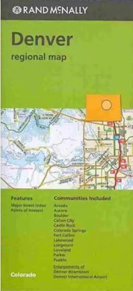

Rand McNally's folded map for Denver is a must-have for anyone traveling in and around this part of Colorado, offering unbeatable accuracy and reliability at a great price. Our trusted cartography sho...
På lager i 0 butikker.
Forlagsbeskrivelse af Denver Regional Map
Rand McNally's folded map for Denver is a must-have for anyone traveling in and around this part of Colorado, offering unbeatable accuracy and reliability at a great price. Our trusted cartography shows all Interstate, U.S., state, and county highways, along with clearly indicated parks, points of interest, airports, county boundaries, and streets. The easy-to-use legend and detailed index make for quick and easy location of destinations. You'll see why Rand McNally folded maps have been the trusted standard for years. Regularly updated Full-color maps Clearly labeled Interstate, U.S., state, and county highways Indications of parks, points of interest, airports, county boundaries, downtown & vicinity maps Easy-to-use legend Detailed & full street index Enlargements of Denver Downtown and Denver International Airport Convenient folded size Communities Included: Arvada, Aurora, Boulder, Canon City, Castle Rock, Colorado Springs, Fort Collins, Lakewod, Longmont, Loveland, Parker, Pueblo
Detaljer
Forlag
Rand McNally
Udgave
0
ISBN
9780528007576
Sprog
Engelsk
Originalsprog
Sproget kan ikke bestemmes
Udgivelsesdato
15-12-2016
Format
Falset
Varenr.
2493870
EAN nr.
9780528007576
Varegruppe
Maps/guides
Bogens kategorier Klik på en kategori for at se lignende bøger
Anmeldelser Denver Regional Map
Brugernes anmeldelser
Andre fandt også inspiration i
Flere produkter, som fanger nysgerrigheden hos andre kunder