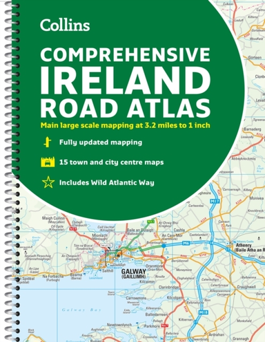
Road Atlas Ireland Touring Edition A4 Paperback
0.0
( 0 )
Engelsk

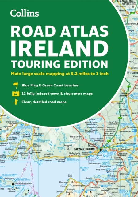

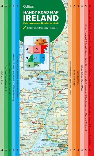
Explore Ireland with this accurate and fully updated road atlas. This road atlas is at A4 size, covering the whole of Ireland and features clear and detailed Collins colour mapping at a sc...
På lager i 0 butikker.
Forlagsbeskrivelse af Ireland Road Atlas: Touring edition af Collins
Explore Ireland with this accurate and fully updated road atlas. This road atlas is at A4 size, covering the whole of Ireland and features clear and detailed Collins colour mapping at a scale of 5.2 miles to 1 inch. Perfect for both residents and visitorstouring Ireland.
Detaljer
Forlag
Collins
Udgave
0
ISBN
9780008597672
Sprog
Engelsk
Sider
64
Udgivelsesdato
02-03-2023
Format
Hæftet
Varenr.
3130840
EAN nr.
9780008597672
Varegruppe
Maps/guides
Højde/Dybde (mm)
6
Bredde (mm)
209
Længde (mm)
298
Vægt (g)
260
Bogens kategorier Klik på en kategori for at se lignende bøger
Anmeldelser Ireland Road Atlas: Touring edition
Brugernes anmeldelser
Andre fandt også inspiration i
Flere produkter, som fanger nysgerrigheden hos andre kunder


Passer perfekt sammen med
Gør dit køb komplet med produkter, der matcher i stil, tema eller stemning