Walking the Pennine Way Map Booklet
1:25,000 OS Route Mapping
0.0
( 0 )
Engelsk

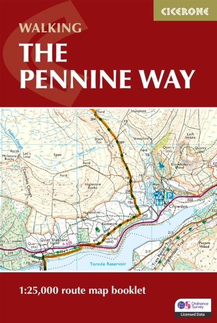

Map of the 265 mile (426km) Pennine Way National Trail, between Edale in the Peak District and Kirk Yetholm in the Scottish Borders. This booklet is included with the Cicerone guidebook to the trail, ...
På lager i 0 butikker.
Forlagsbeskrivelse af Walking The Pennine Way Map Booklet af Paddy Dillon
Map of the 265 mile (426km) Pennine Way National Trail, between Edale in the Peak District and Kirk Yetholm in the Scottish Borders. This booklet is included with the Cicerone guidebook to the trail, and shows the full route on OS 1:25,000 maps. This popular long-distance route typically takes three weeks to complete.
Detaljer
Forlag
Cicerone Press
ISBN
9781786311412
Sprog
Engelsk
Sider
136
Udgivelsesdato
15-03-2025
Format
Paperback
Varenr.
3276412
EAN nr.
9781786311412
Varegruppe
Engelsk non fiction div.