Peak District Dark Peak With Ordnance Survey Mapping
0.0
( 2642 )
Engelsk


The A-Z Adventure Series uses Ordnance Survey mapping and is the perfect companion for walkers, off-road cyclists, and anyone wishing to explore the great outdoors. The A-Z Adventure Series uses Ordna...
På lager i 1 butikker.
Forlagsbeskrivelse af Peak District Dark Peak With Ordnance Survey Mapping af A-Z Maps
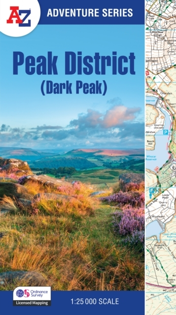
The A-Z Adventure Series uses Ordnance Survey mapping and is the perfect companion for walkers, off-road cyclists, and anyone wishing to explore the great outdoors. The A-Z Adventure Series uses Ordnance Survey mapping and is the perfect companion for walkers, off-road cyclists, and anyone wishing to explore the great outdoors.This A-Z Adventure Atlas of the Peak District (Dark Peak) features 50 pages of continuous Ordnance Survey mapping covering:Peak District National Park (northern part)Kinder ScoutHope ValleyHathersageCastletonSnake PassDerwent ValleyThis National Trail Map features detailed mapping at a scale of 1:25 000, providing complete coverage of the Peak District (Dark Peak). Additional features include:Information CentresHotels/B&BsYouth HostelsCampsites (seasonal opening)Public HousesShopsRestaurantsCafes (seasonal opening)Petrol StationsOther books available in the A-Z Adventure series include: Pembrokeshire Coast Path, Peddars Way and Norfolk Coast Path, South Downs Way, Cotswold Way, South West Coast Path and The North Coast 500.
Detaljer
Forlag
HarperCollins
ISBN
9780008744205
Sprog
Engelsk
Sider
60
Udgivelsesdato
13-03-2025
Format
Paperback
Varenr.
3288645
EAN nr.
9780008744205
Varegruppe
Engelske textbooks