World War I Illustrated Atlas
0.0
( 2929 )
Engelsk

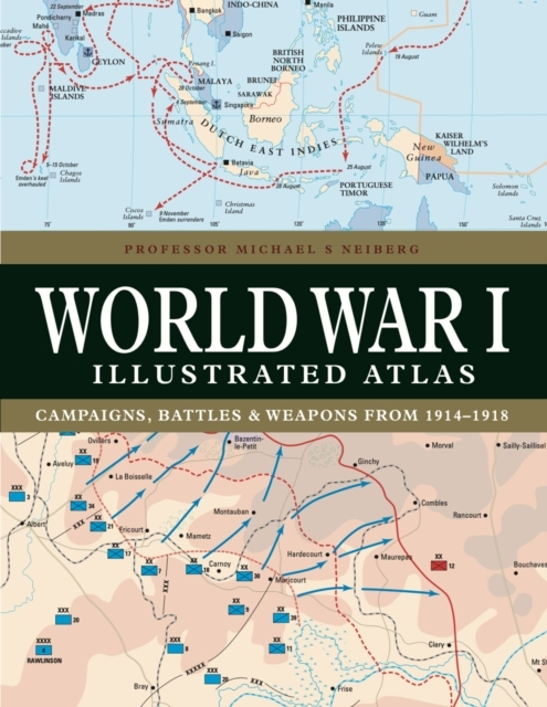

WWI was a complex conflict: an air war, a land war fought in the Balkans, NW Europe, Italy, Africa, Turkey and the Middle East, and a naval war in the North Sea, South Atlantic, South Pacific and Indi...
På lager i 0 butikker.
Forlagsbeskrivelse af World War I Illustrated Atlas af Professor Michael S Neiberg
WWI was a complex conflict: an air war, a land war fought in the Balkans, NW Europe, Italy, Africa, Turkey and the Middle East, and a naval war in the North Sea, South Atlantic, South Pacific and Indian Oceans. Including over 180 detailed maps, World War I Illustrated Atlas is an invaluable reference guide to this global war.
Detaljer
Forlag
Amber Books
ISBN
9781838863548
Sprog
Engelsk
Sider
192
Udgivelsesdato
14-10-2023
Varenr.
3368029
EAN nr.
9781838863548
Varegruppe
History & military
Højde/Dybde (mm)
209
Bredde (mm)
270
Længde (mm)
19
Vægt (g)
912