Indianapolis Street Map
0.0
( 0 )
Engelsk
TILBUD

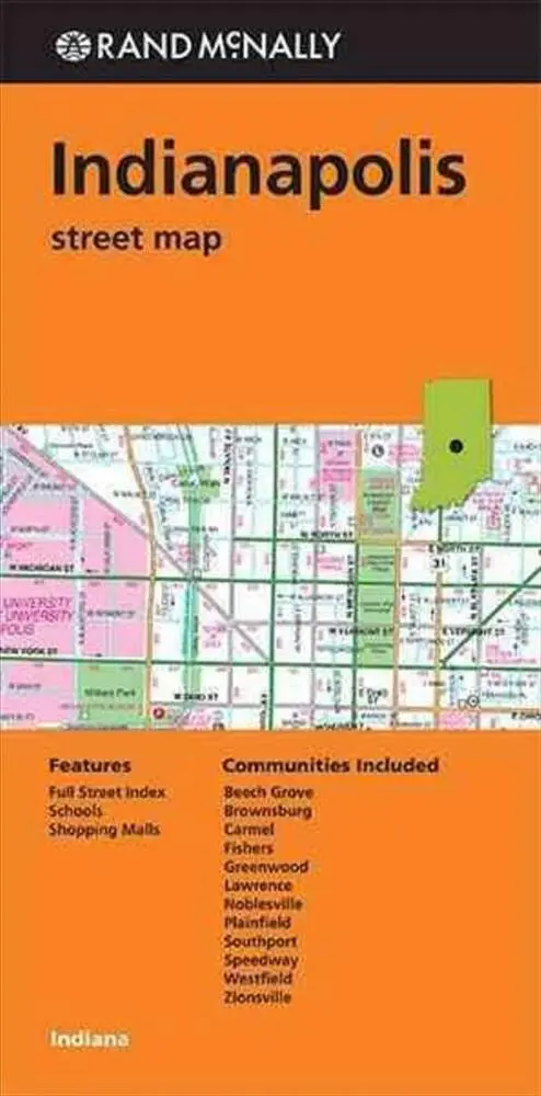

Rand McNally's folded map for Indianapolis is a must-have for anyone traveling in and around this part of Indiana, offering unbeatable accuracy and reliability at a great price. Our trusted cartograph...
På lager i 0 butikker.
Forlagsbeskrivelse af Indianapolis Street Map
Rand McNally's folded map for Indianapolis is a must-have for anyone traveling in and around this part of Indiana, offering unbeatable accuracy and reliability at a great price. Our trusted cartography shows all Interstate, U.S., state, and county highways, along with clearly indicated parks, points of interest, airports, county boundaries, and streets. The easy-to-use legend and detailed index make for quick and easy location of destinations. You'll see why Rand McNally folded maps have been the trusted standard for years.
Detaljer
Forlag
Rand McNally
Udgave
0
ISBN
9780528008849
Sprog
Engelsk
Originalsprog
Sproget kan ikke bestemmes
Udgivelsesdato
01-06-2013
Format
Falset
Varenr.
2264192
EAN nr.
9780528008849
Varegruppe
Maps/guides