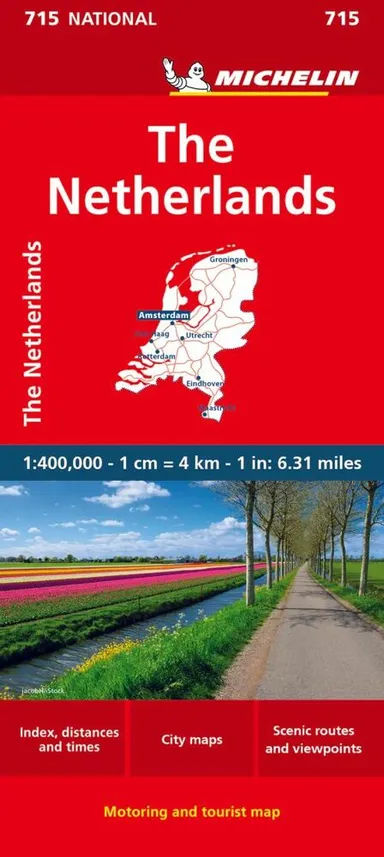
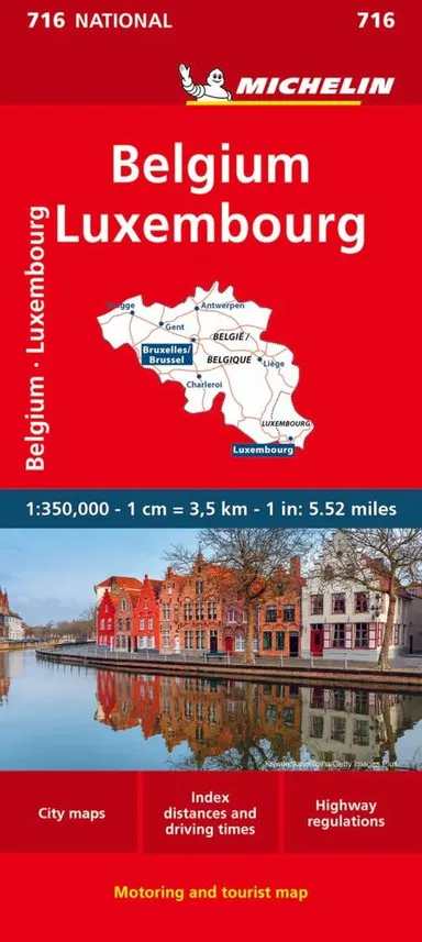
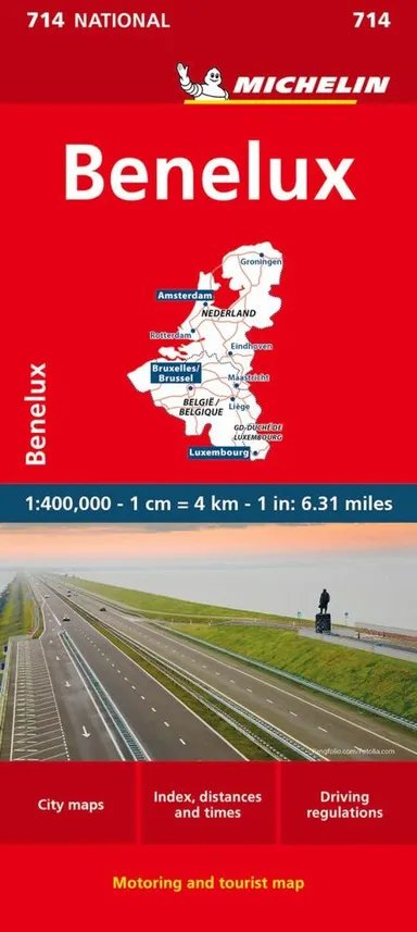
Netherlands & Belgium including Luxembourg
0.0
( 0 )
Engelsk
TILBUD


En del af International Travel Maps
1st edition October 2015. Scale 1:350.000.This is a double sided map with Netherlands & Belgium on 1 side. The Belgium portion occupies other shared with Luxembourg. The map has two covers, one side s...På lager i 0 butikker.
Forlagsbeskrivelse af Netherlands & Belgium including Luxembourg
1st edition October 2015. Scale 1:350.000.This is a double sided map with Netherlands & Belgium on 1 side. The Belgium portion occupies other shared with Luxembourg. The map has two covers, one side saying Belgium and Luxembourg, with a cover picture of a town square, and the other side says Netherlands and Belgium, with a cover picture of a windmill. The map's artwork is completely new and different from the previous edition, and much more in keeping with ITMB's style for Europe. Motorways are in blue, main roads in green, and other roads in red casing. Road distances between points are noted, as well as motorway rest areas, and touristic sites such as windmills, noteworthy churches, and camping areas. Height elevations are minimal, but park areas have been shown. The border portion of France is also included, as well as appropriate border portions of Germany. The 'Low Countries' are very interesting for visitors and include canals, historic cities such as Bruges, Leuven, and Liege and the battlefield region of Bastogne and 'The Bulge' this map is also including the West Frisian Islands and adjacent Germany and France with complete index of all cities and towns in the map. Legend Includes:Roads by classification, Points of Interest, National Parks, Airports, Golf Courses, Beaches, Campsites, Waterfalls, Viewpoints, Fishing Spots, Hospitals, harbours/Ports, Zoos, and much more.
Detaljer
Serie
Forlag
ITMB publishing
Udgave
1
ISBN
9781771290784
Sprog
Engelsk
Originalsprog
Sproget kan ikke bestemmes
Udgivelsesdato
01-10-2015
Format
Falset
Varenr.
2228006
EAN nr.
9781771290784
Varegruppe
Maps/guides
Anmeldelser Netherlands & Belgium including Luxembourg
Brugernes anmeldelser
Andre fandt også inspiration i
Flere produkter, som fanger nysgerrigheden hos andre kunder


Passer perfekt sammen med
Gør dit køb komplet med produkter, der matcher i stil, tema eller stemning