Great Britain A-Z Handy Road Atlas 2025 A5 Spiral
0.0
( 0 )
Engelsk

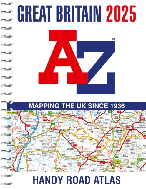

Navigate your way around Great Britain with this detailed and easy-to-use A-Z Road Atlas Navigate your way around Great Britain with this detailed and easy-to-use A-Z Road AtlasA full-colour, spiral b...
På lager i 0 butikker.
Forlagsbeskrivelse af Great Britain A-Z Handy Road Atlas 2025 A5 Spiral af A-Z Maps
Navigate your way around Great Britain with this detailed and easy-to-use A-Z Road Atlas Navigate your way around Great Britain with this detailed and easy-to-use A-Z Road AtlasA full-colour, spiral bound road atlas, now fully revised and updated. Clear detailed road mapping at a scale of 5 miles to 1 inch. Presented in a compact A5 size for ease of storage.This handy road atlas of Great Britain includes:Mileage chartChannel Tunnel terminus mapsIndex to cities, towns, villages, hamlets and major destinationsMap reference information also in French and GermanInstantly recognisable and easy to use, the road mapping has been specifically tailored for the smaller scale featuring: clear standard road classification colours for easy identification, motorway junction symbols, under construction and proposed roads, primary route destinations, service areas, National and county boundaries, and a wide range of tourist and ancillary information, including Blue Flag Beaches.This A-Z Handy Road Atlas of Great Britain and Northern Ireland is the perfect choice for those wanting a compact spiral bound publication with A-Z quality road mapping.
Detaljer
Forlag
HarperCollins
ISBN
9780008652937
Sprog
Engelsk
Sider
256
Udgivelsesdato
28-03-2024
Format
Spiralryg
Varenr.
3219677
EAN nr.
9780008652937
Varegruppe
Engelsk non fiction div.
Højde/Dybde (mm)
20
Bredde (mm)
200
Længde (mm)
155
Vægt (g)
334