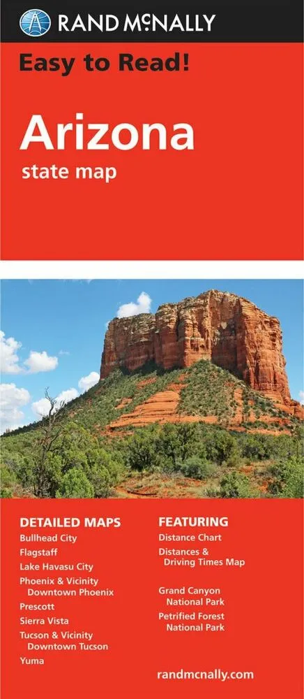
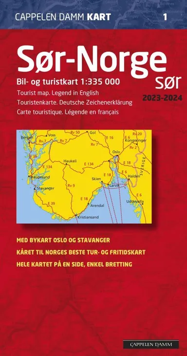
Arizona State Map
0.0
( 0 )
Engelsk


Rand McNally's Easy To Read State Folded Map is a must-have for anyone traveling in and around Arizona, offering unbeatable accuracy and reliability at a great price. Our trusted cartography shows all...
På lager i 0 butikker.
Forlagsbeskrivelse af Arizona State Map af Rand McNally
Rand McNally's Easy To Read State Folded Map is a must-have for anyone traveling in and around Arizona, offering unbeatable accuracy and reliability at a great price. Our trusted cartography shows all Interstate, U.S., state, and county highways, along with clearly indicated parks, points of interest, airports, county boundaries, and streets. The easy-to-use legend and detailed index make for quick and easy location of destinations. You'll see why Rand McNally folded maps have been the trusted standard for years. -Regularly updated, full-color maps. -Larger map with a bigger type size than the Rand McNally Folded Map. - Clearly labeled Interstate, U.S., state, and county highways. -Indications of parks, points of interest, airports, county boundaries, and more. -Mileage and driving times map. Coverage Area: Detailed maps of: Flagstaff, Grand Canyon National Park, Lake Havasu City, Petrified Forest National Park, Phoenix & Vicinity, Phoenix, Downtown Prescott, Tucson & Vicinity, Tucson Downtown, Yuma. Scale 1:722,300.
Detaljer
Forlag
Rand McNally
Udgave
0
ISBN
9780528024436
Sprog
Engelsk
Udgivelsesdato
06-08-2021
Format
Falset
Varenr.
3021120
EAN nr.
9780528024436
Varegruppe
Maps/guides
Bogens kategorier Klik på en kategori for at se lignende bøger
Anmeldelser Arizona State Map
Brugernes anmeldelser
Andre har også kigget på
Som medlem af Klubben sparer du 50% fragten og optjener point, når du handler | Medlemskab til 0 kr. uden binding og gebyrer.


Ofte købt sammen med
Som medlem af Klubben sparer du 50% fragten og optjener point, når du handler | Medlemskab til 0 kr. uden binding og gebyrer.