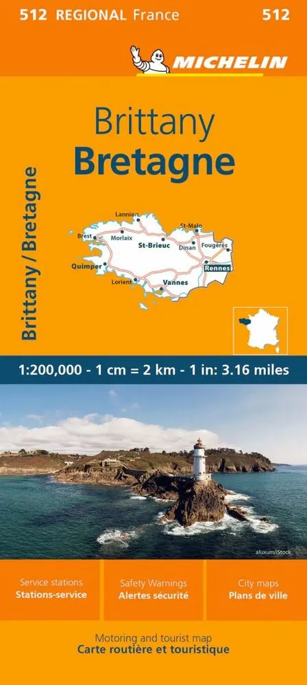
Michelin France blad 512: Brittany / Bretagne
0.0
( 0 )
Engelsk
MICHELIN Regional Map scale 1/200,000 will provide you with an extensive coverage of primary, secondary and scenic routes for this French region. In addition to Michelin's clear and accurate mapping, ...
På lager i 1 butikker.
Forlagsbeskrivelse af Michelin France blad 512: Brittany / Bretagne af Michelin
MICHELIN Regional Map scale 1/200,000 will provide you with an extensive coverage of primary, secondary and scenic routes for this French region. In addition to Michelin's clear and accurate mapping, this regional map includes all the practical information for a trouble free journey, including major town plans as well as tourism information and camping sites to make the most of your journey. With MICHELIN Regional Maps, find more than just your way!
MICHELIN REGIONAL MAPS include practical information for a trouble free journey and show primary & secondary road networks.
- Administrative boundaries
- Scenic routes and tourist sights
- Place name index
- Time and distance charts
- Plans for a selection of major towns
- Practical information: danger alerts, service stations, picnic areas
Detaljer
Forlag
Michelin
Udgave
0
ISBN
9782067258648
Sprog
Engelsk
Udgivelsesdato
19-01-2023
Format
Falset
Varenr.
3081940
EAN nr.
9782067258648
Varegruppe
Maps/guides
Bogens kategorier Klik på en kategori for at se lignende bøger
Anmeldelser Michelin France blad 512: Brittany / Bretagne
Brugernes anmeldelser
Andre har også kigget på
Som medlem af Klubben sparer du 50% fragten og optjener point, når du handler | Medlemskab til 0 kr. uden binding og gebyrer.
Ofte købt sammen med
Som medlem af Klubben sparer du 50% fragten og optjener point, når du handler | Medlemskab til 0 kr. uden binding og gebyrer.
