Colorado State Map
Anmeldelser af (0)

Colorado State Map
Anmeldelser af (0)
Vælg format:
Minimumsbestilling: 1
På lager i 0 butikker.
Forlagsbeskrivelse af Colorado State Map af Rand McNally
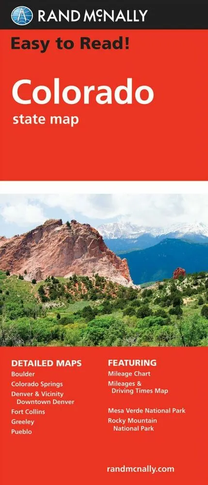
Rand McNally's Easy To Read State Folded Map is a must-have for anyone traveling in and around Colorado, offering unbeatable accuracy and reliability at a great price. Our trusted cartography shows all Interstate, U.S., state, and county highways, along with clearly indicated parks, points of interest, airports, county boundaries, and streets. The easy-to-use legend and detailed index make for quick and easy location of destinations. You'll see why Rand McNally folded maps have been the trusted standard for years.
-Regularly updated, full-color maps.
-Larger map with a bigger type size than the Rand McNally Folded Map.
- Clearly labeled Interstate, U.S., state, and county highways.
- Indications of parks, points of interest, airports, county boundaries, and more.
- Mileage and driving times map.
- Detailed index.
- Convenient folded size.
Coverage Area: Detailed maps of Boulder, Colorado Springs, Denver & Vicinity, Downtown Denver, Fort Collins, Greeley, Mesa Verde National Park, Pueblo, Rocky Mountain National Park.
Detaljer
Forlag
Rand McNally
Udgave
0
ISBN
9780528024443
Sprog
engelsk
Udgivelsesdato
06-06-2021
Format
Falset
Varenr.
3021117
EAN nr.
9780528024443
Varegruppe
Maps/guides